[ solutions ]
Tactical &
Defense Technology
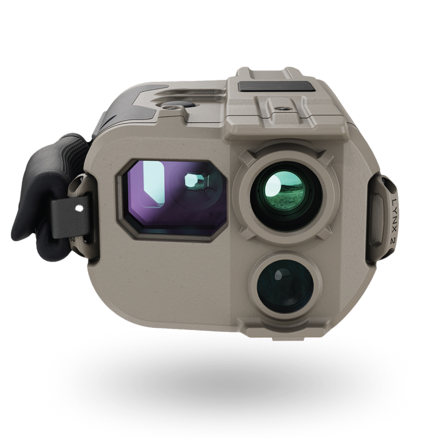
Lynx and Orion equip tactical units with field situational awareness and mission planning through augmented reality and rich 3D mapping.
[ combat proven ]
Lynx: The Future of Combat Vision
Tactical Situational Awareness System
Powered by GeoFusion™, a core technology that transforms seamlessly between GeoData and imagery, creating a simple, intuitive common language among operators from various forces and platforms.
Lynx - Operational Benefits

Advanced Targeting
Generates CAT 1 grade target positions and enables free-handed use in the field.
Situational Awareness
Integrates tactical information onto the real-world view using Augmented Reality.
SWaP
Size, Weight, and Power: a vision enhancement system made for tactical commanders.
Common Language
Ensures different forces operate under one common language for joint operations.
[ lynx variants ]
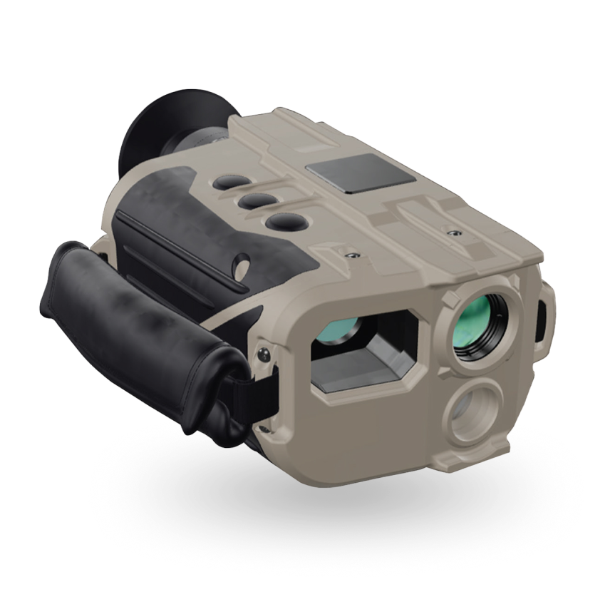
Lynx TA (Tactical)
[ lynx variants ]
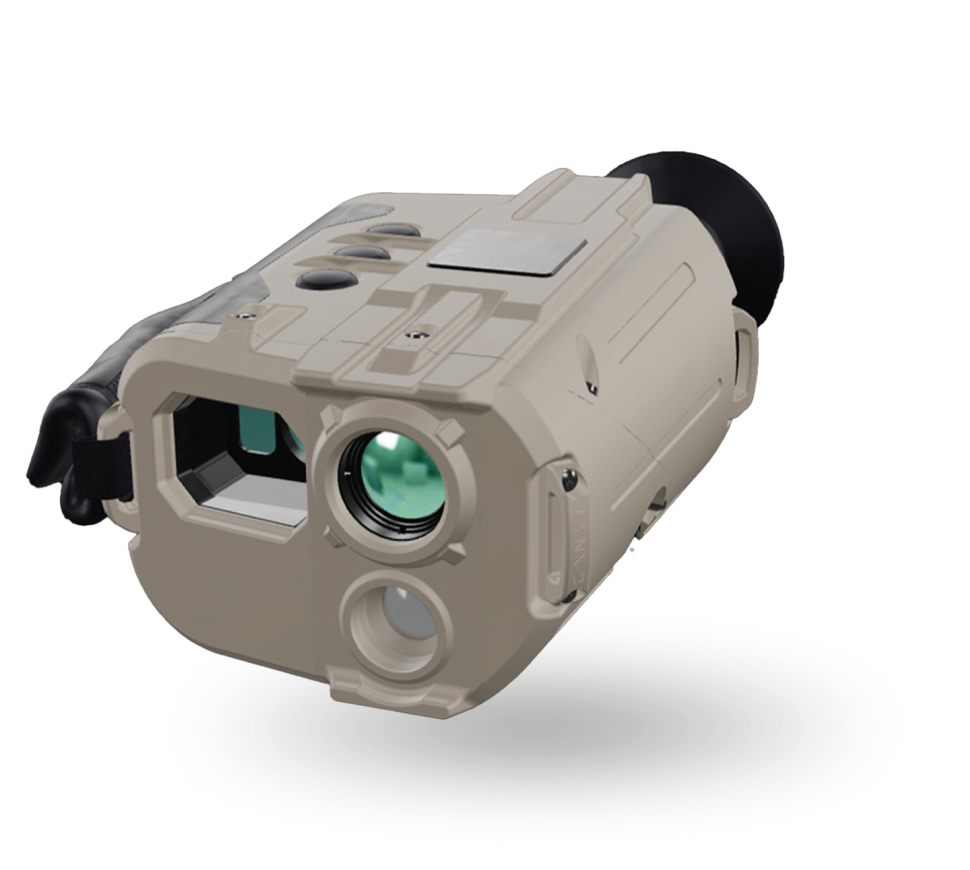
Lynx FS (Fire Support)
[ combat proven ]
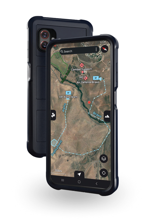
Orion: Mission Enhancement System
Designed for the Most Demanding and Complex Arenas
Powered by GeoFusion™, a core technology that transforms seamlessly between GeoData and imagery, creating a simple, intuitive common language among operators from various forces and platforms.
Orion - Operational Benefits
Detailed Mission Planning
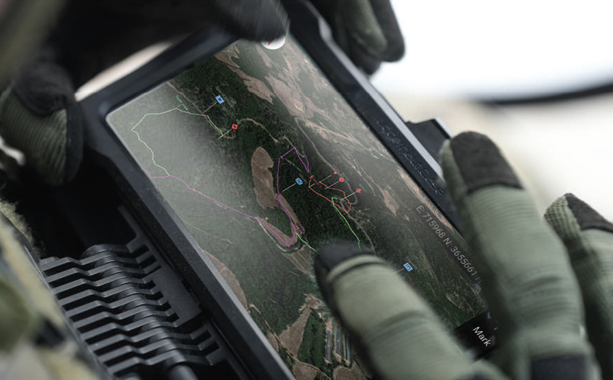
Simplifies mission planning with intuitive interfaces and advanced terrain analysis tools, while also boosting action management.
Situational Awareness
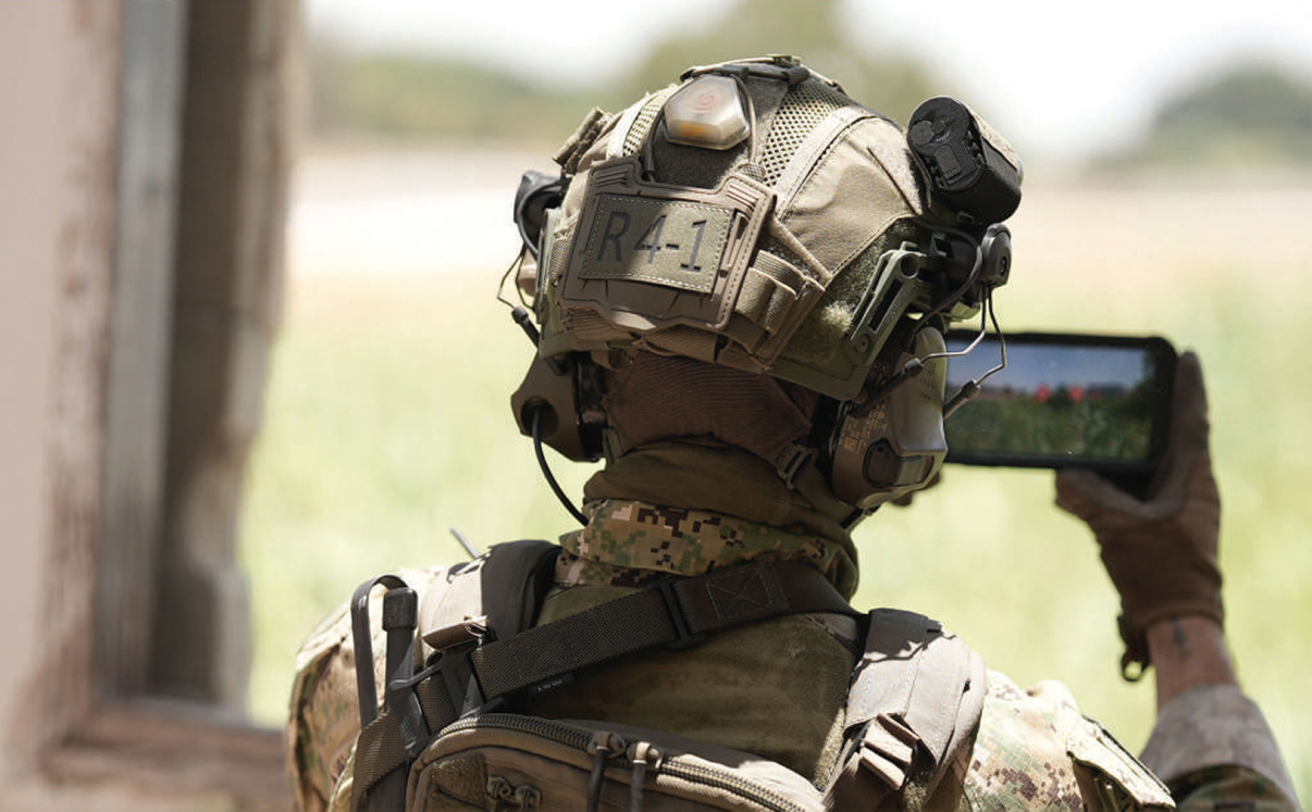
Integrates all tactical information into the user's real-world view using Augmented Reality for continuous battlefield awareness.
Ease of Use
A rich and intuitive interface that simplifies complex operational tasks, letting operators quickly access essential information.
3D Focused Interface
Renders all tactical information in 3D, and turns any live drone imagery into 3D, Raster, and DTM/DSM data directly in the field.
Orion Key Features
Battle Proven (TRL 9)
Technology Readiness Level 9: the system has been proven in real operational environments.
Modular & Scalable Architecture
A modular design that can be adapted and scaled to fit different missions and needs.
Offline & Online Operations
Works with or without a network connection, so planning and execution continue anywhere.
Fast Deployment, Minimal Training
An intuitive interface that lets teams start using it quickly and efficiently, with minimal training required.
Rapid GIS Data Dissemination
Geographic data and tactical information can be shared quickly among operators and units.